
MEA Issues clarification about J&K and Ladakh
MEA releases statement for accurate representation of Indian territory in view of UN resolution for more accurate portrayal of world maps
Synopsis
The United Nations adopted a resolution on September 4 2026, seeking a more accurate representation of the world on maps. While India voted in favor of the resolution, Ministry of External Affairs(MEA), spokesperson Randhir Jaiswal issued a statement demanding that country’s map, including Jammu and Kashmir and Ladakh should be presented accurately.
UN Resolution
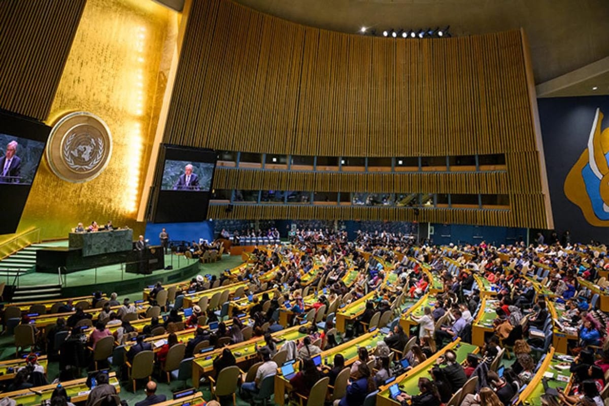
A resolution was passed in the United Nations General Assembly(UNGA) on Friday, September 4, sponsored by Togo, titled, “Correct the Map: Rebalancing Global Cartographic Representation and Promoting Equitable of World’s Regions, Particularly Africa”
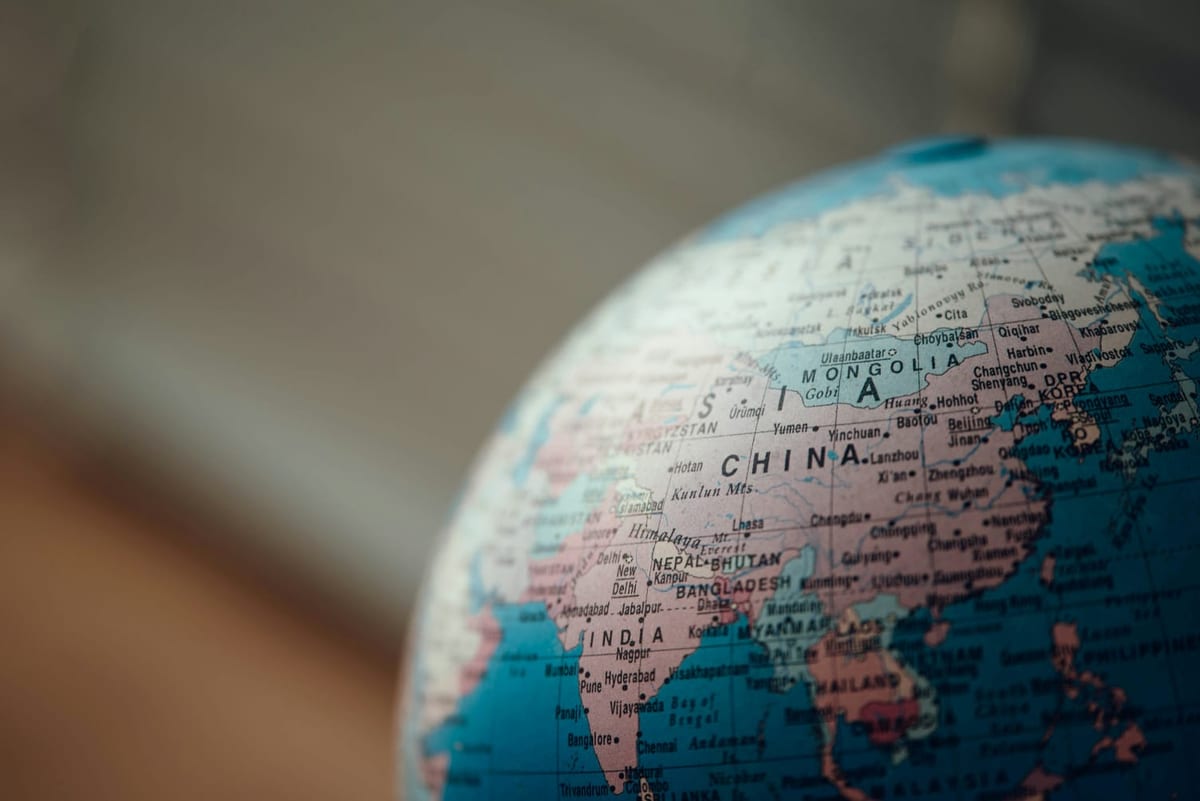
The proposal, encouraging equal-area world map projections, was passed with 164 votes in favor and only USA voting against the resolution. Meanwhile, Estonia, Georgia, Lithuania, Serbia and Ukraine were absent from the voting. The proposal encourages equal area cartographic representation to mitigate the challenges associated with traditional systems such as the Mercator projection.
According to the MEA, the resolution neither adopts nor authenticates a particular world map, nor does it address political cartography, including international boundaries, disputed territories or place names.
India’s Stance
MEA made it clear that India’s sovereign territory, including the union territories of Jammu and Kashmir and Ladakh must be shown according to the country’s official map, adding that any inaccurate or misleading depiction is unacceptable. Moreover, Randhir Jaiswal reiterated that their position on India’s sovereignty and territorial integrity remains clear, consistent and non-negotiable.
“India’s sovereign territory, including the Union Territories of Jammu and Kashmir and Ladakh, must be depicted in accordance with India’s official map. Any inaccurate or misleading depiction is unacceptable," Jaiswal said. MEA added, “Our position on India’s sovereignty and territorial integrity is clear, consistent and non-negotiable." The MEA also asked for the resolution to remain technologically and methodologically neutral.
Why India Voted in Favor
India, according to MEA, has supported the broader principle of equal area map projections behind the resolution which preserves the relative sizes of continental landmasses. Moreover, India’s support is limited to promoting accurate representations of world on maps and does not constitute any endorsement of any specific map, projection or depiction of national boundaries.
“We believe that the resolution should be understood as supporting the broader use and consideration of equal-area map projections and not as endorsing the Equal Earth projection, or any other specific map projection,” said Indian diplomat Raghoo Puri.
Moreover, Raghoo Puri stated that equal area projections were important because they help preserve the relevant sizes or areas of continental and territorial landmasses.
Randhir Jaiswal has further clarified, while addressing a media query, that India’s position should not be interpreted as a support of any specific depiction of national boundaries. The ministry has maintained that India has provided an explanation of its vote while backing the resolution and stressed on the principle of promoting equal-area cartographic representation.
“The resolution neither adopts nor authenticates a particular world map, nor does it address political cartography, including international boundaries, disputed territories or place names," MEA said.
Latest News
- ◆Victoria’s Secret 2026: Redefining Beauty on the Runway
- ◆From Jane Austen to Jenny Han: How Literature Reflects Changing Human Relationships
- ◆New Fits, Old Roots: Rethinking Diwali Fashion in 2026
- ◆The Reality Behind the Rocketry: Breaking Down Tesla’s 2028 Roadster Reveal
- ◆Supreme Court Recognises Children’s Right to Internet Access, Cautions Against Blanket Bans